Aerial Measurement Platforms (EagleView)
Aerial Measurement Platforms (EagleView)
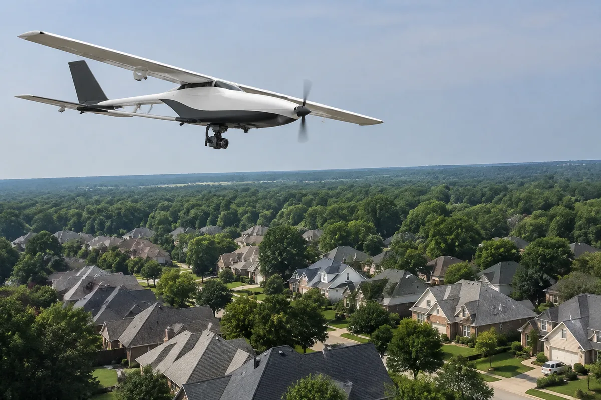
Before material ever arrives at your home, we run an aerial measurement report on the roof. These platforms capture every slope, ridge, valley, and penetration from overhead imagery and turn them into precise diagrams and square-footage counts, so a proposal reflects the actual roof rather than a rough walk-around guess.
What the Report Covers
- Slope and pitch data — each roof plane measured separately, which matters for material yield and labor planning.
- Penetration counts — vents, skylights, chimneys, and pipes located and counted before a crew ever sets a ladder.
- Waste and edge detail — hips, valleys, and eaves quantified so ordering matches the roof, not an estimate.
Where It Fits With Other Tools
These reports pair naturally with our drone thermal and high-resolution imaging, which flags storm damage or wet insulation on the same flight, and with our photo documentation app, which shares dated site images alongside the measurement report. Together they give you a clear, documented starting point before any estimate is finalized or work begins.